3D Laser Scanning & As-Built Verification | Calgary & Houston
Serving clients from Houston, Texas to Calgary, Alberta, Tundra Engineering applies 3D laser scanning to capture accurate digital records of existing energy facilities for brownfield modifications, facility upgrades, and detailed engineering verification. Through advanced terrestrial laser scanning, reality capture, and point cloud modeling, dimensional uncertainty is eliminated, allowing engineering teams to design with confidence in real-world site conditions.
Traditional manual measurements often introduce inaccuracies that affect prefabrication, installation sequencing, and construction efficiency. High-resolution 3D laser scanning technology generates millions of spatial data points, forming precise digital models of piping systems, structural steel, vessels, and equipment layouts. This verified site geometry becomes the foundation for reliable engineering execution and 3D laser scanning construction workflows.
Point Cloud Modeling & Engineering Integration
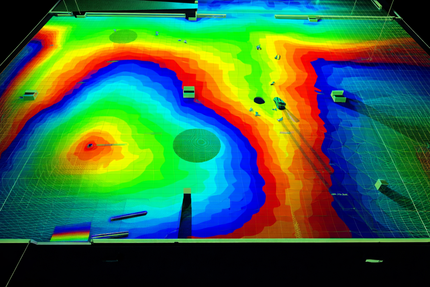
Captured scan data is converted into intelligent point cloud models that integrate directly into 3D design environments and laser scan to BIM platforms. This enables:
- Accurate as-built drawings
- Clash detection and constructability review
- Verified tie-in planning
- Dimensional validation for modular fabrication
- Reduced field rework and change orders
When integrated into broader engineering workflows, 3D laser scanning services strengthen documentation accuracy and support schedule predictability.
As part of disciplined execution strategies used by Tundra Engineering, site verification data feeds directly into detailed design packages and project planning frameworks.
Brownfield Modifications & Prefabrication Accuracy
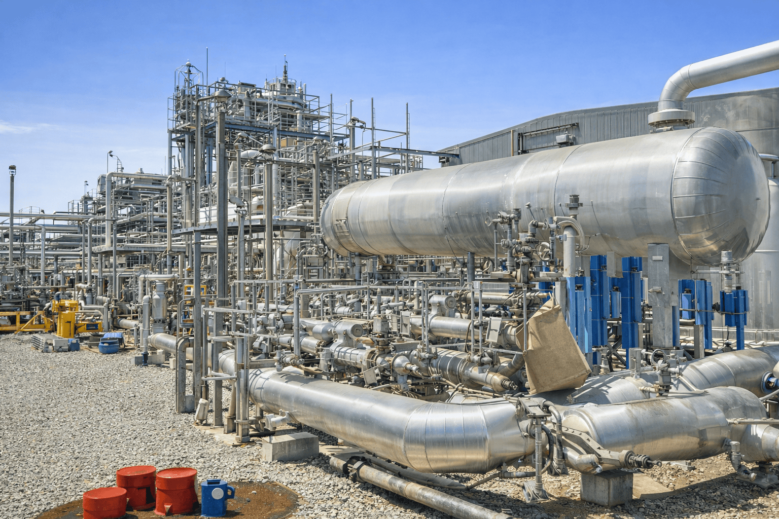
3D laser scanning services are particularly valuable for brownfield expansions and congested plant environments where undocumented changes may exist. Verified field geometry allows piping spools, structural components, and equipment assemblies to be prefabricated with improved fit-up precision before mobilization.
For projects requiring fully validated documentation sets, 3D laser scanning data is frequently incorporated into our Complete As-Built Site Drawing Package, ensuring final drawings reflect true operating conditions rather than legacy assumptions. This integrated 3D laser scanning survey approach reduces downtime during shutdowns, improves field productivity, and strengthens overall capital project performance.
Construction Efficiency & Downtime Reduction
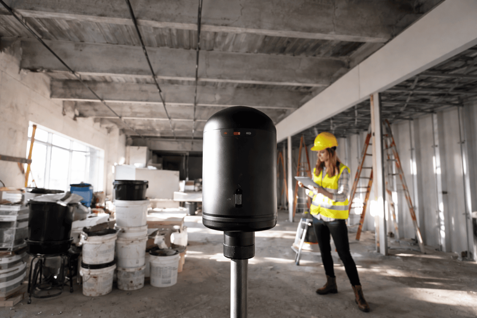
Accurate site verification directly impacts construction safety and execution reliability. By reducing dimensional uncertainty through 3D laser scanning services, welding rework, field adjustments, and unexpected interferences are minimized.
The result is:
- Improved construction sequencing
- Reduced installation delays
- Lower field labor exposure
- Stronger cost control
- Greater schedule certainty
Through structured 3D laser scanning integration and engineering coordination, operators gain the confidence needed to execute facility modifications with reduced risk and improved operational continuity.
Scan data is an input, not an output. It feeds plant debottlenecking and turnaround planning, where an accurate as-built is the difference between a clean tie-in and field rework, and it pairs with artificial intelligence in production operations for ongoing facility data.
This service is also available as one element of Tundra’s EPCM execution model.
What is 3D laser scanning in energy facilities?
3D laser scanning captures high-resolution spatial data using specialized laser scanning equipment to create point cloud models used for as-built documentation and engineering verification.
How does 3D laser scanning improve prefabrication accuracy?
Verified site geometry from terrestrial laser scanning allows piping and structural components to be fabricated with precise dimensional alignment before field installation.
When is 3D laser scanning most valuable?
3D laser scanning is most beneficial during brownfield expansions, equipment replacements, and facility upgrades where accurate site data and laser scan to BIM coordination are critical.